
New Delhi: The BJP is committed to the slogan “Sabka Sath, Sabka Vikas”, and the party wants to take everyone along with the aim of building a strong nation, said BJP President J P Nadda.
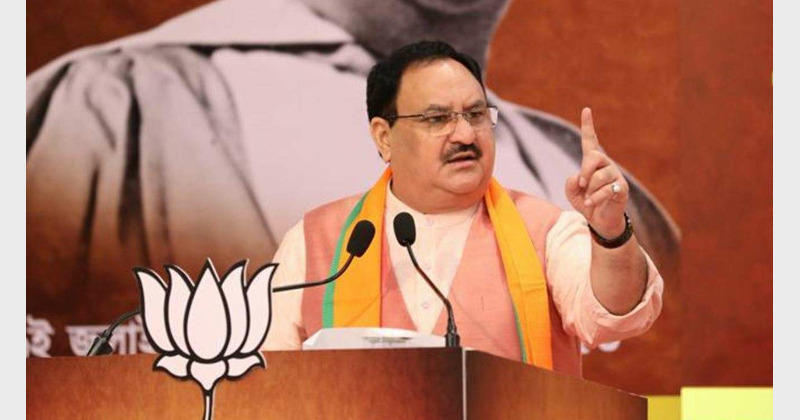
The BJP on Monday (May 30) made its first official statement on the Kashi Vishwanath Temple-Gyanvapi mosque dispute, saying such issues would be settled in accordance with the Constitution and decided by the courts. BJP president J P Nadda said the party has always spoken about the cultural development and would follow the court’s order in letter and spirit.
He said that contentious religious matters and subjects related to places of worship would be decided by “courts and the Constitution”, and the party would implement the decisions in letter and spirit.
“We have always been talking about cultural development. But these issues (like Gyanvapi) are dealt with in accordance with the Constitution and the ruling of courts. So, the Court and Constitution will decide on it and the BJP will follow it in letter and spirit,” Nadda told reporters while addressing the media on the occasion of the completion of the eight years of the Narendra Modi government.
Responding to questions, he said the Ram Janmabhoomi issue was certainly part of the resolution passed in the party’s national executive in Palampur.
“…After that, there has been no resolution,” he said.
The BJP national executive adopted the Palampur resolution in June 1989. Subsequently, the party took up the Ram Janmabhoomi movement.
The Ram temple movement was till then piloted by the Vishwa Hindu Parishad and its leaders like Ashok Singhal.
BJP patriarch L K Advani had also announced a Rath Yatra to ensure that “a temple is constructed at the birthplace of Lord Ram”.
The Rath Yatra, which went off successfully, also led to the fall of the VP Singh ministry after BJP withdrew support when Advani was arrested in Bihar and prevented from the further onward journey.
Addressing the press conference at the party headquarters here, Nadda said “seva, sushasan and garib kalyan” (service, good governance and welfare of the poor) are the soul of the ruling dispensation.
Nadda, flanked by key leaders Smriti Irani, Dharmendra Pradhan and Anurag Thakur, also released a theme song on the occasion, titled ‘Modi govt architect of new India’.
The theme song, of course, highlights the construction of the Ram temple in the Ayodhya and Kashi Vishwanath temple corridor in Varanasi.


Comments